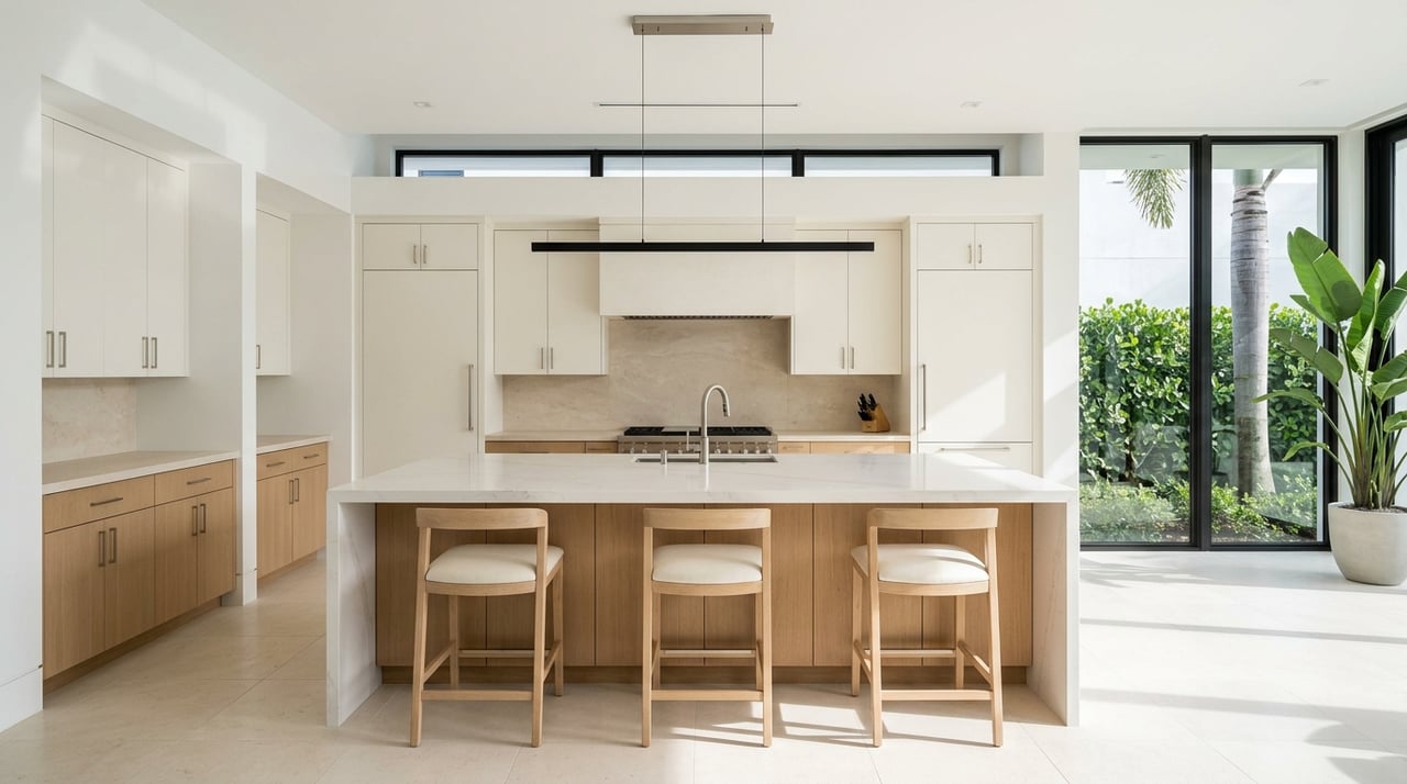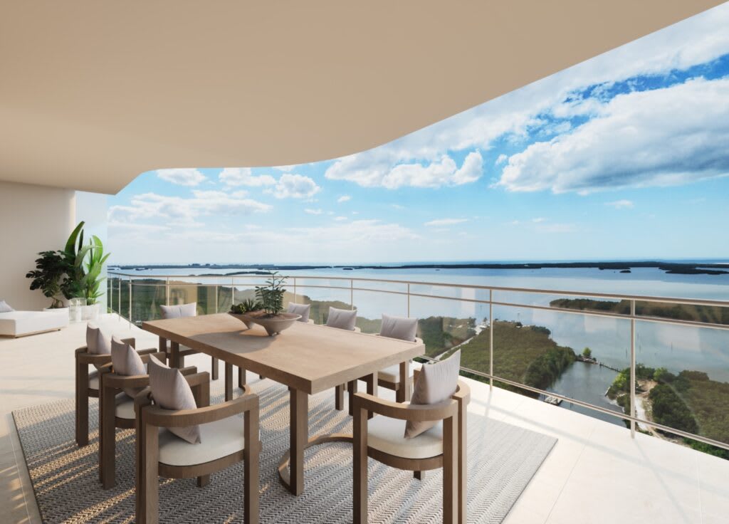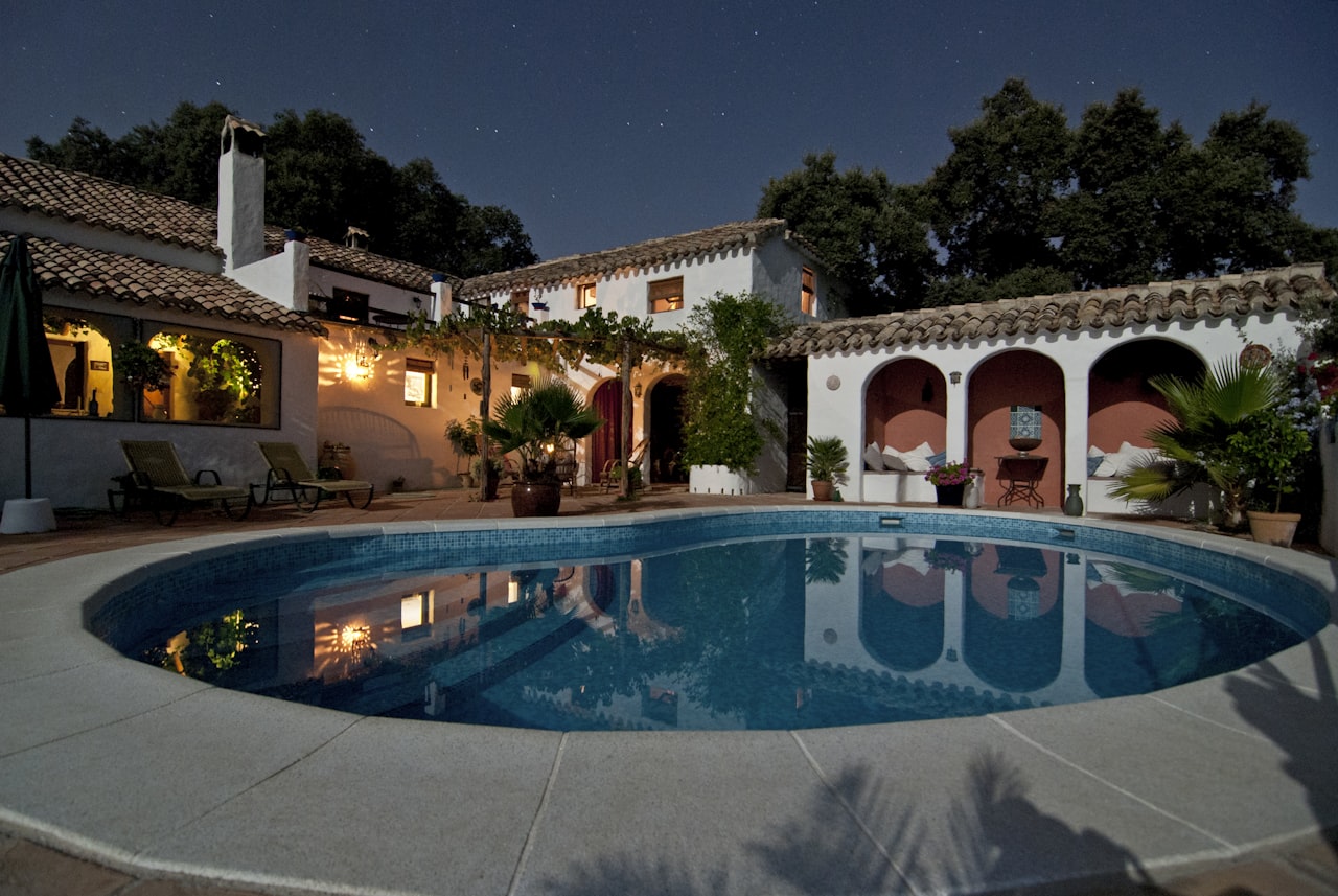
Picture your morning coffee on a quiet dock, the sun lifting over the palms as fish ripple the surface and a heron glides by. That is daily life on the canals in Cape Coral. If you are exploring a waterfront move here, you likely have questions about access to the Gulf, lot types, seawalls, insurance, and what daily boating really looks like. This guide gives you clear, practical answers so you can choose the right canal, property, and setup with confidence. Let’s dive in.
What makes Cape Coral canals unique
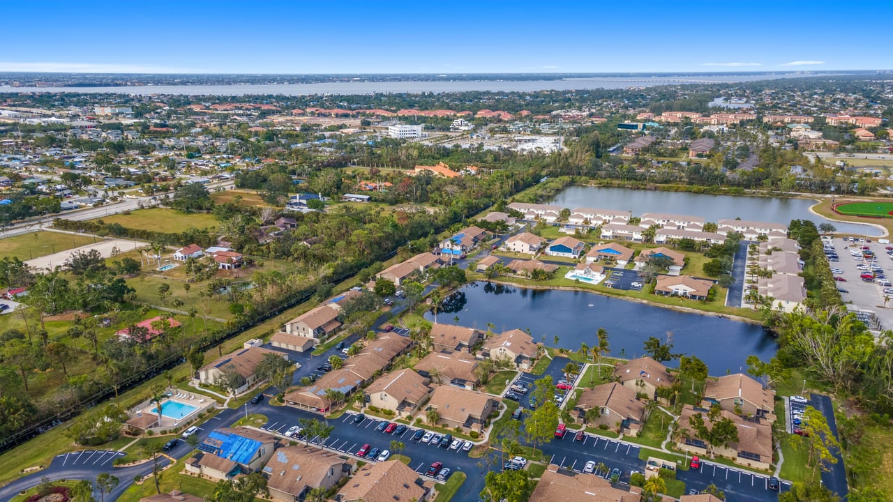
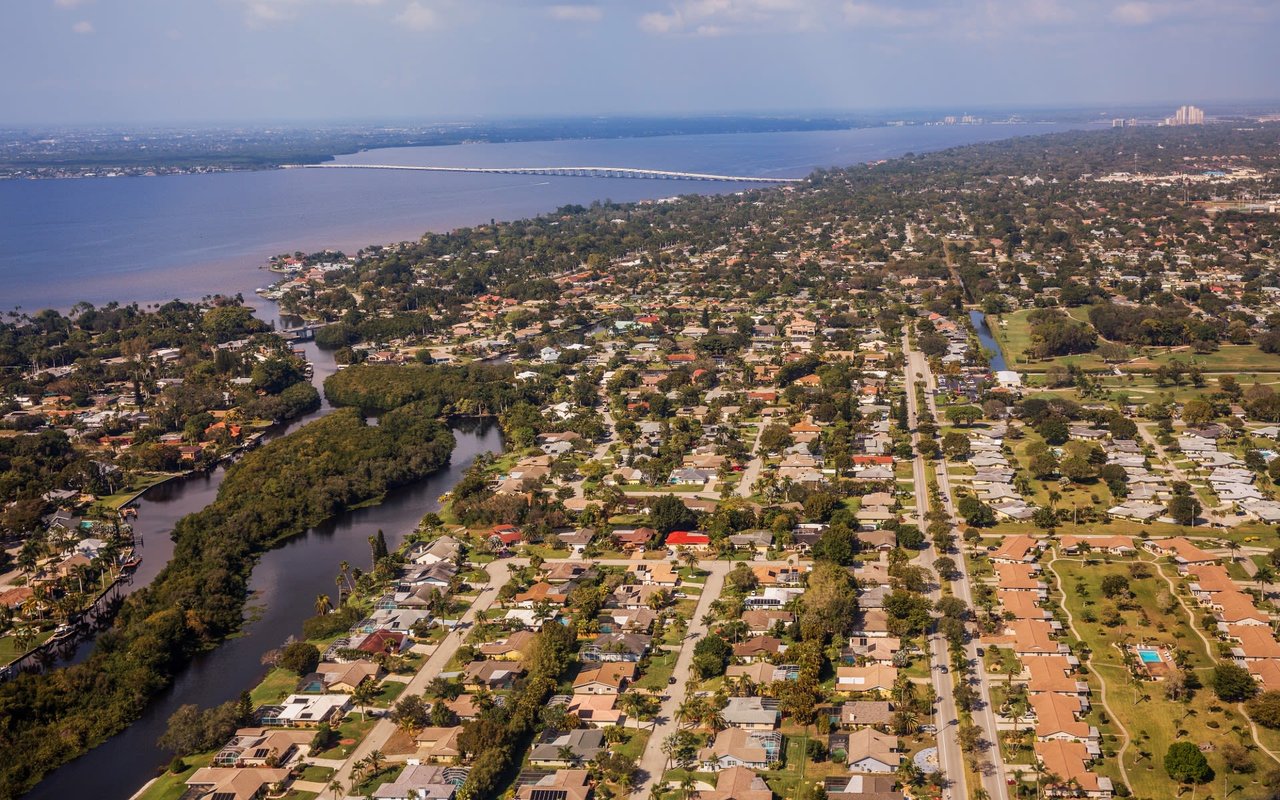
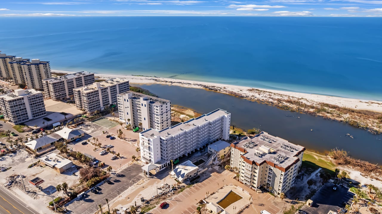
Cape Coral is known for its canal network, with more than 400 miles of waterways that shape how people live, play, and move around the city. Boating, fishing, and paddle sports are part of the everyday rhythm. The city outlines its boating culture, public ramps, and trailer permits on its boating and waterfront overview, which is a helpful first stop for planning routes and launch points. You can explore those details on the city’s boating and waterfront overview.
These canals include both salt or brackish water and freshwater. Some systems connect to the Caloosahatchee River and then to Matlacha Pass or San Carlos Bay, which lead out to the Gulf of Mexico. The water type matters for fishing, seawall and dock materials, and even day-to-day maintenance.
Saltwater vs. freshwater canals
Salt or brackish canals usually tie into the Caloosahatchee or spreader canals, then out toward open water. If you want to cruise to lunch on the bay, target these areas. Freshwater canals are scenic and calm but typically do not connect to the Gulf. They are popular for paddling and fishing close to home and often come with lower price points.
Your route and water type affect more than lifestyle. Salinity can influence corrosion on metal parts and seawalls, while freshwater basins may have different vegetation or algae risks. Talk with your inspector and dock contractor about materials that fit your water type and boat plans.
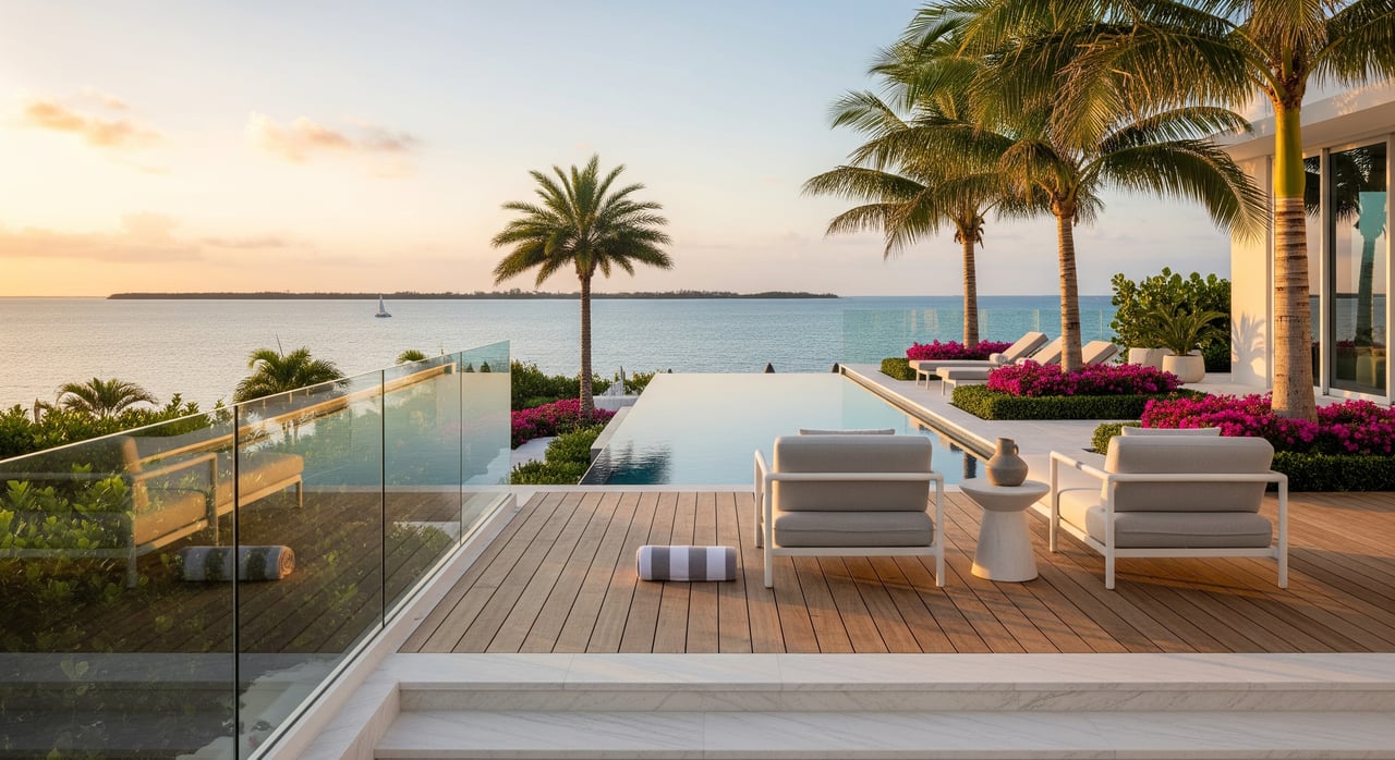
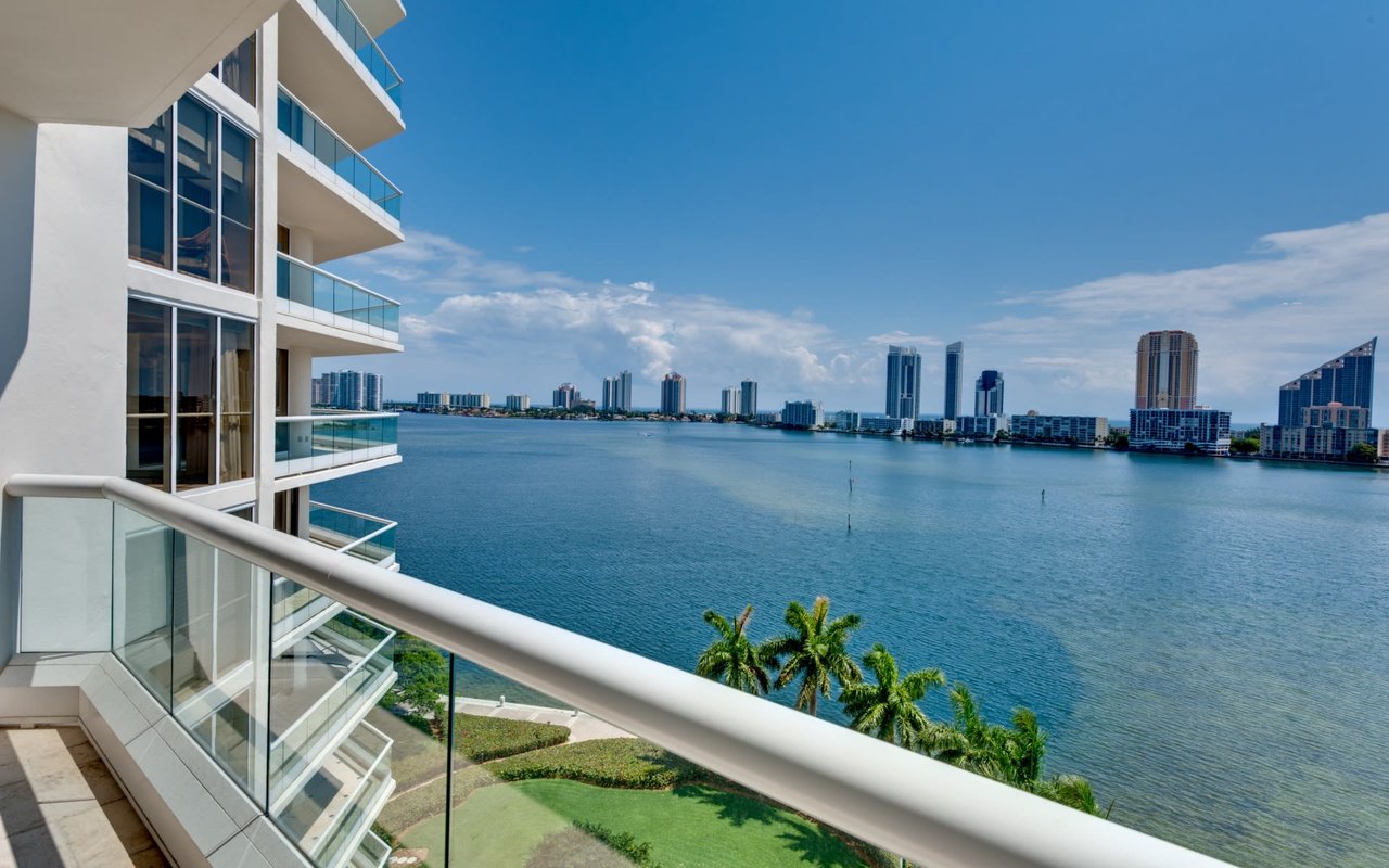
Gulf access, bridges, and sailboats
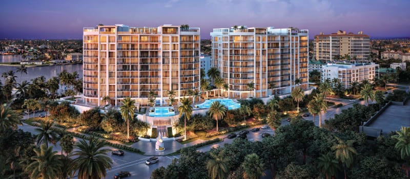
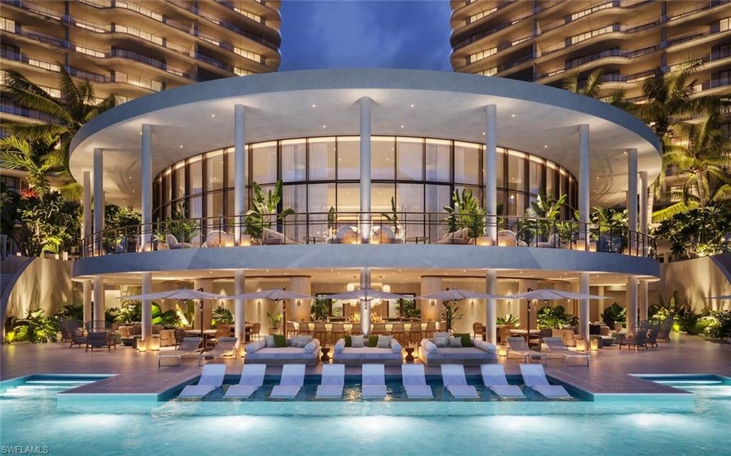
“Gulf access” means a navigable run from your dock to Matlacha Pass or San Carlos Bay. Lots marketed as direct or no-bridge access often carry a premium because you can reach open water faster and with fewer height limits. Marina-centered neighborhoods, such as Tarpon Point, place you close to fuel, dining, and slips for guests. Learn more about services and lifestyle at Tarpon Point Marina.
Bridge height matters, especially for sailboats. Fixed bridges and drawbridges have posted clearances and operating rules that you should verify before you assume your mast will clear. Federal navigation references, such as the U.S. Coast Pilot, outline bridge regulations and local practices. You can review an example reference in the U.S. Coast Pilot.
Access routes can also change over time. The city removed the Chiquita boat lock as part of broader water-management and navigation updates, and dredging projects continue in different corridors. Check city marine notices for current conditions and timelines on the Chiquita Lock project page before you buy or plan major trips.
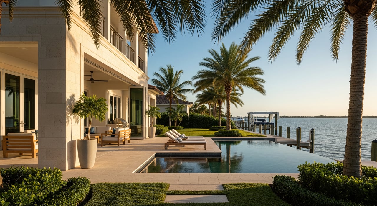
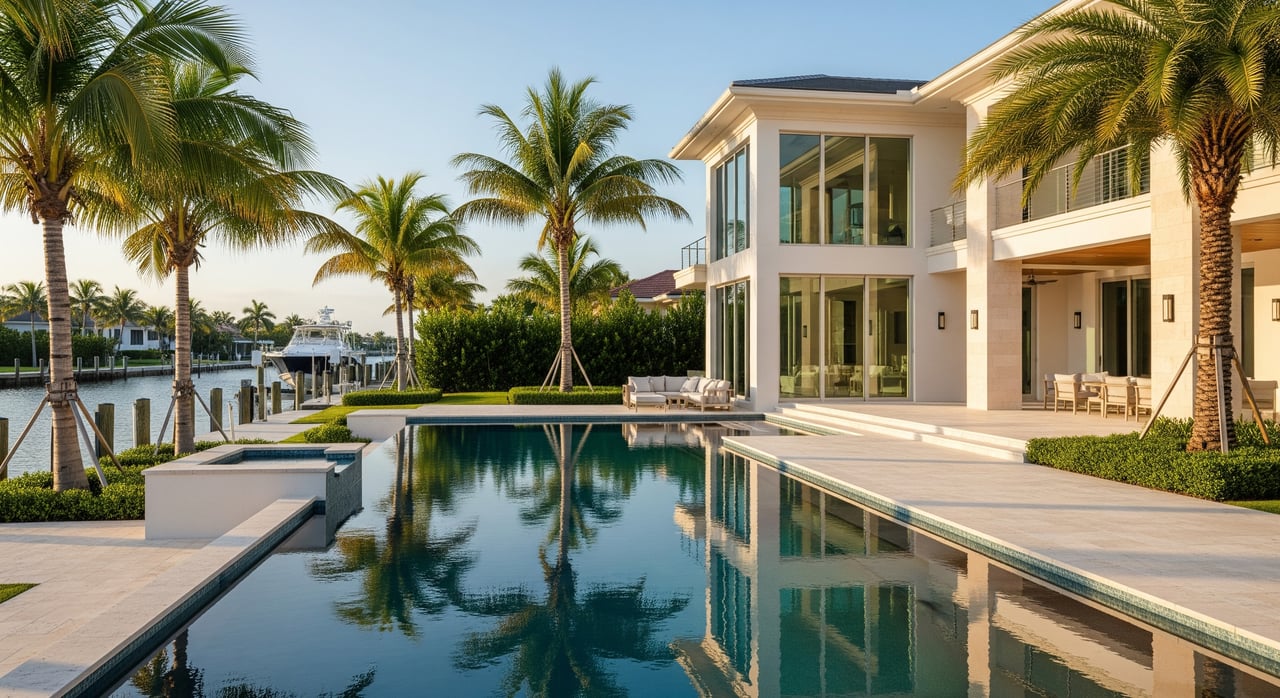
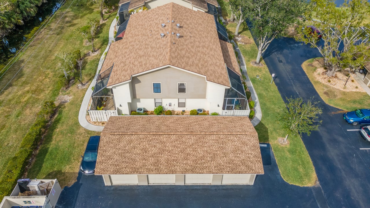
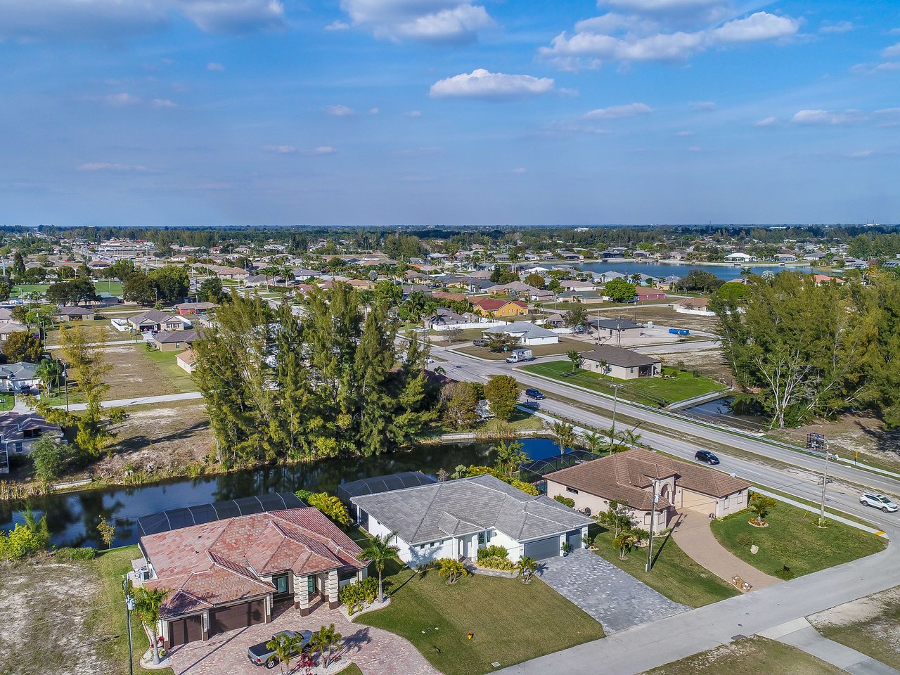
Lots, frontage, and dock room
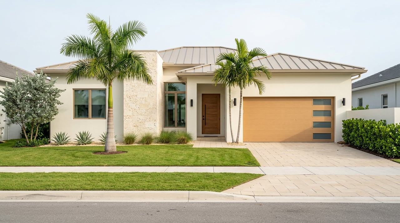
Most canal lots in established grid neighborhoods measure around 80 feet wide by about 125 feet deep. Listings often highlight water frontage in linear feet, since that affects dock size and layout. You will also see oversized or basin lots that offer 100 feet or more of frontage, which can be attractive for larger boats.
Always confirm measurements by reviewing a survey, the county plat, or MLS details. Look at neighboring docks and canal angles too. On narrower canals, a long finger dock can conflict with your neighbor’s space or with the travel lane.
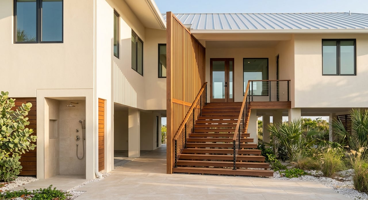
Cape Coral has specific rules for marine improvements. Dock dimensions, davit locations, and boat canopies require permits and must meet setbacks. Before you design or upgrade a dock, review the city’s marine improvements code and pull prior permits from the seller. This saves time and helps you avoid costly changes.
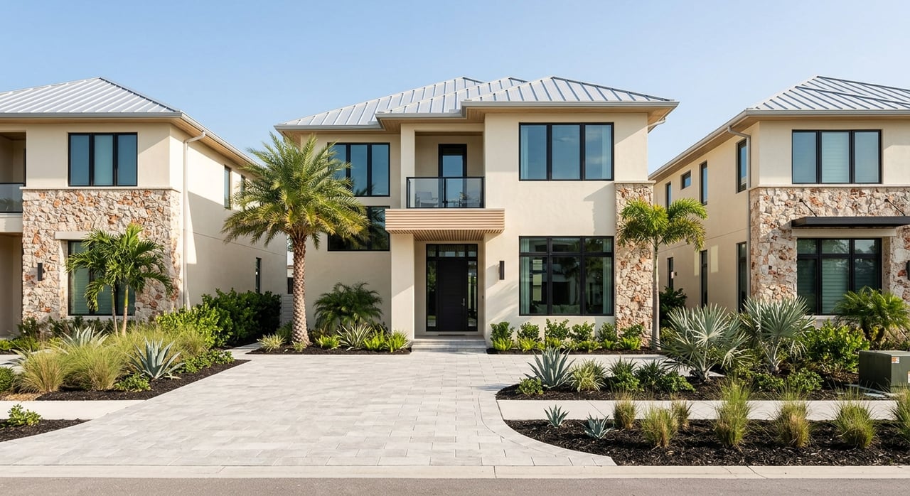
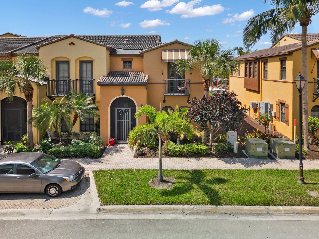
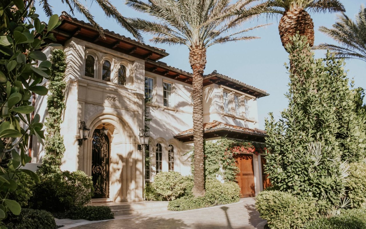
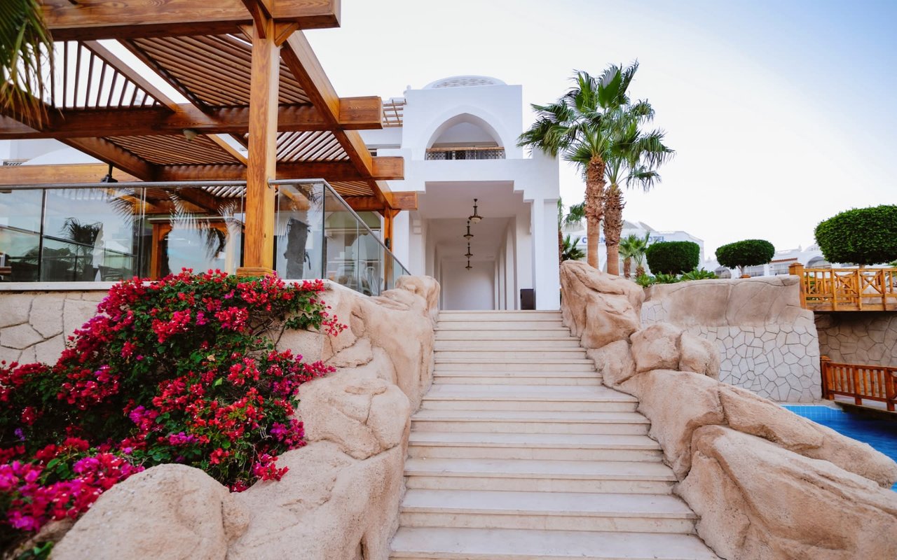
Neighborhood feel on the water
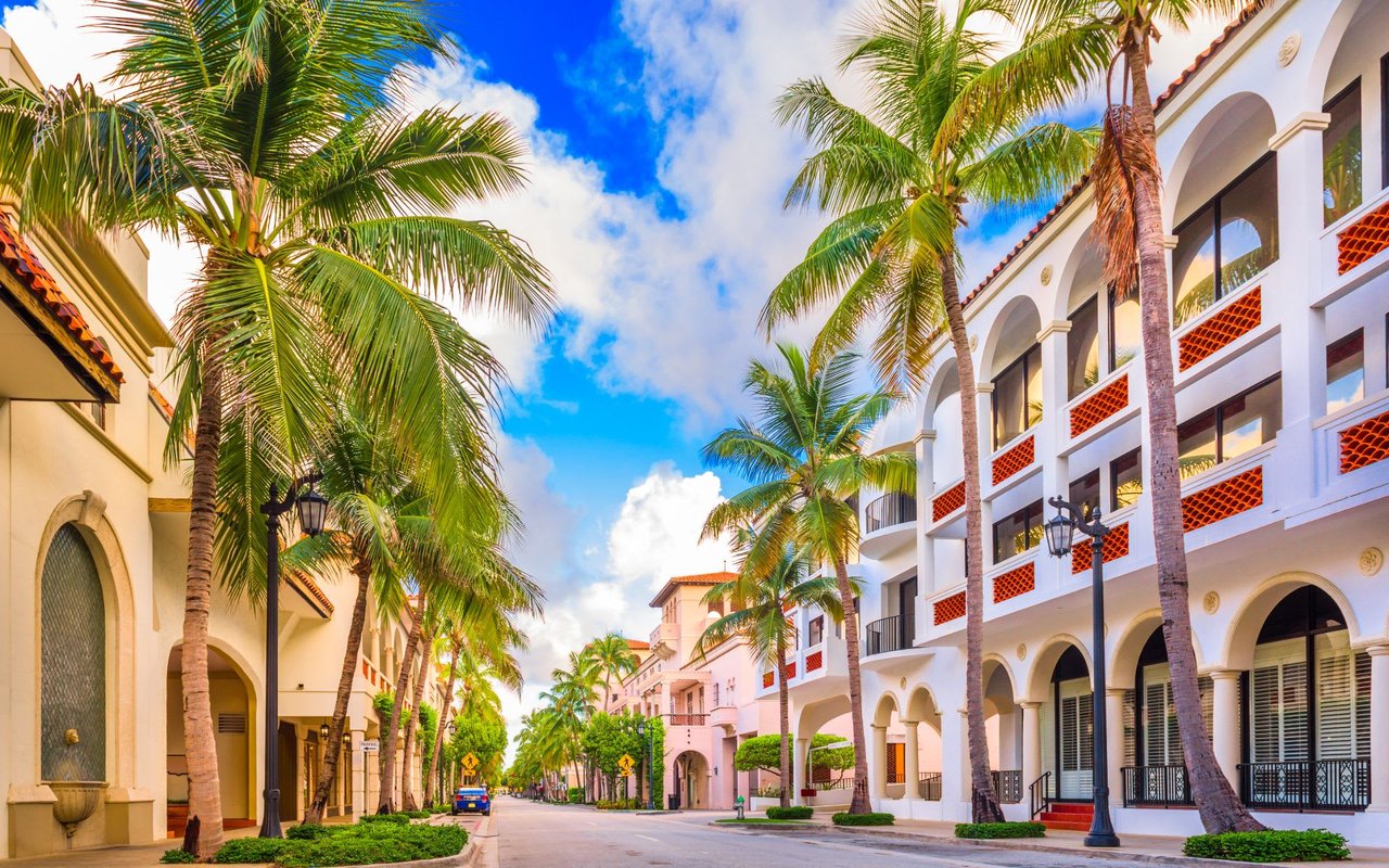
- South and southwest Cape: Closer runs to marinas and open water, often with deeper channels and a strong boating lifestyle feel. Examples include areas near Tarpon Point and the Burnt Store corridor.
- Yacht Club and the southeast corridor: Established streets with quick access to the Caloosahatchee River and a traditional Cape Coral waterfront vibe.
- Interior canal neighborhoods: Quieter freshwater settings and slower runs to open water. Many buyers like the calmer feel and value here if regular Gulf trips are not a priority.
Every area has pros and tradeoffs. Your best fit depends on how often you plan to boat, how tall your vessel is, and whether you want the energy of a marina village nearby.
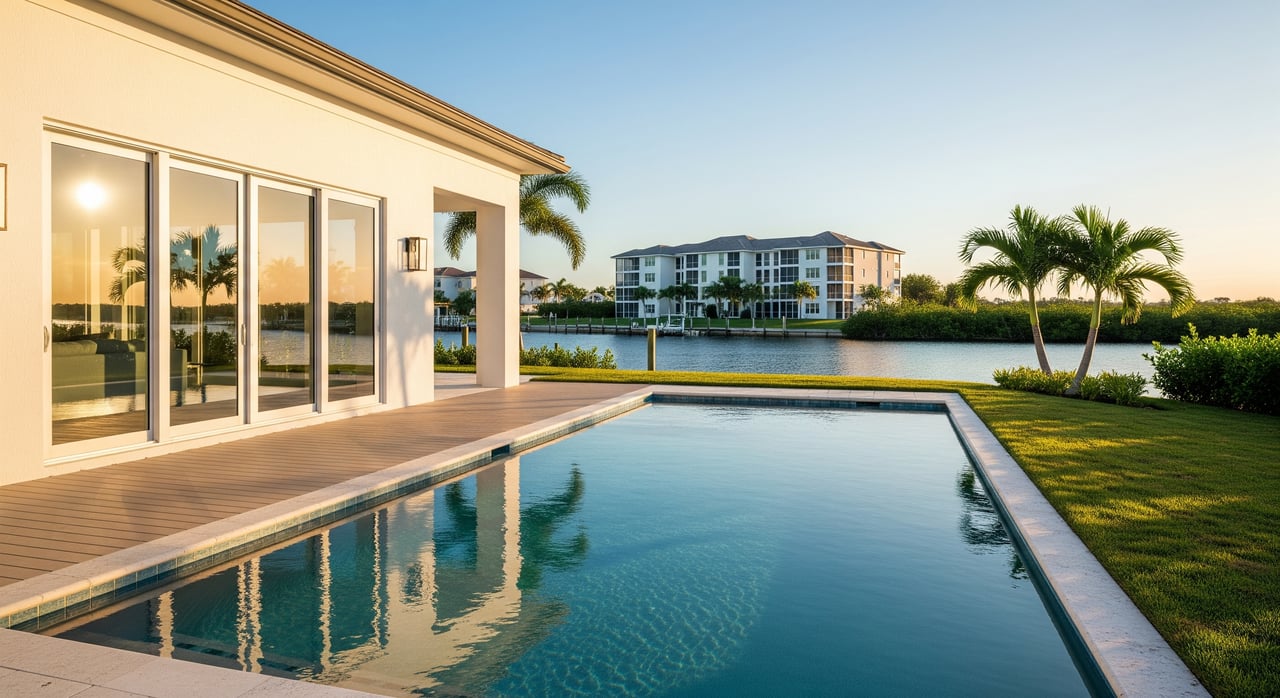
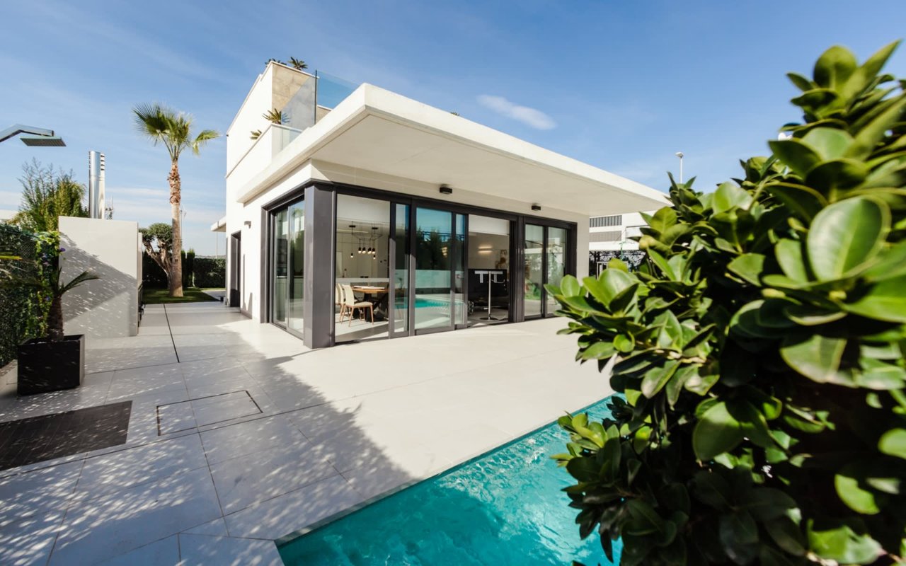
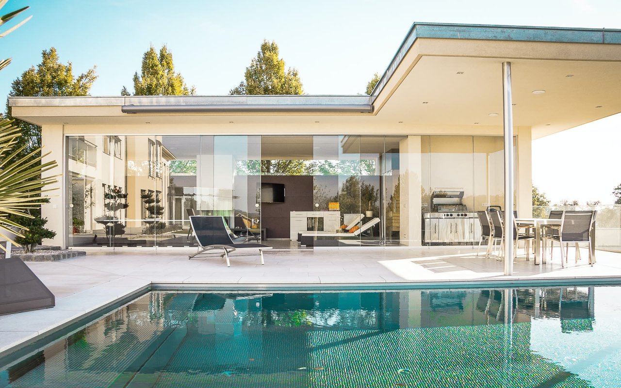
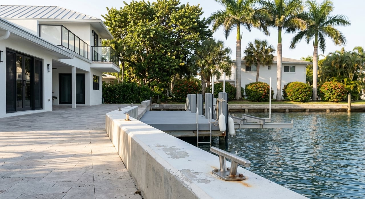
Docks, lifts, and permits
A private dock with a lift is the most common setup for single-family canal homes. A lift keeps your hull clean, reduces maintenance, and speeds up your launch routine. Be sure your contractor designs to local code and your water type. Confirm setbacks, finger lengths, and canopy rules before work begins using the city’s marine improvements code.
If you prefer less hands-on upkeep, consider proximity to services. Marina communities and the municipal yacht basin offer slips, fuel, and amenities. Living a short ride from a full-service marina like Tarpon Point Marina can simplify guest docking and seasonal maintenance.
Insurance and flood planning
Flood mapping and insurance have changed in recent years. Lee County’s FEMA Flood Insurance Rate Map updates became effective in November 2022 and shifted some parcel designations across Cape Coral. Before you buy, check the current map for your exact address using the county’s FEMA map updates page.
At the same time, FEMA moved to Risk Rating 2.0, a pricing approach that uses more property-specific factors. That means two homes on the same canal can have very different premiums based on elevation, foundation type, and distance to water. For clear numbers, request an NFIP quote and a private flood quote early in your search. You can read a plain-language background on the program shift at FEMA’s Risk Rating 2.0 overview.
A few smart steps:
- Ask the seller if their NFIP policy is transferable for short-term continuity.
- Request an Elevation Certificate if the parcel is in a mapped flood zone.
- Share roof age, wind-mitigation details, and recent improvements with your insurance agent, since these can affect eligibility and price in Florida.
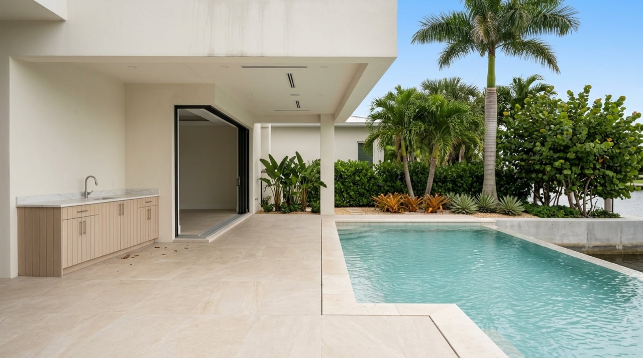
Seawalls: condition and costs
For lots on saline or brackish water, the city requires a seawall or bulkhead and places upkeep on the property owner. Seawalls are vital infrastructure and a key part of your due diligence. Ask for the seawall’s permit history, age, and any inspection reports. A wall near 30 to 40 years old, or one showing cap cracks, tie-back issues, or settlement, deserves a closer look.
Costs vary with material, canal conditions, and access. Regional summaries suggest a wide range from a few hundred dollars to over a thousand dollars per linear foot depending on complexity, with many common jobs in the several-hundred-to-around-$700 per foot range. After major storms, demand and code expectations can push both price and timelines. Use address-specific contractor quotes for planning and review a general primer like this seawall cost and inspection guide to understand the variables. Permits are required, and the city enforces marine improvement standards.
Canal maintenance and water quality
Cape Coral runs ongoing canal management and dredging programs to address shoaling and keep navigation safe. The city has used multi-year permits and contractors for this work. You can see examples of recent projects on Gator Dredging’s Cape Coral page. Before you close, call the city’s stormwater or canal maintenance office to ask if your specific canal has active plans or a recent dredge.
Like many Gulf-connected communities, regional algae or red tide events can occur and may affect recreation at times. These events are seasonal and vary year to year. For general context and updates, review resources like this overview of Cape Coral’s environment and water context, then follow current city or county notices during peak seasons.
Buyer checklist for canal homes
Use this quick list as you evaluate homes and make offers:
- Direct Gulf access: Confirm your route to Matlacha Pass or San Carlos Bay and note the number and height of fixed bridges. Sailboats should check published bridge clearances in references like the U.S. Coast Pilot.
- Frontage and dock room: Verify lot width and water frontage with a survey or plat. Look for dock conflicts or angled canals that limit finger dock length.
- Seawall condition: Request permits, install date, and any inspection or repair records. Budget based on address-specific contractor quotes and the seawall cost primer.
- Flood and elevation: Pull the parcel’s current FEMA map status from Lee County’s FEMA map updates and ask for an Elevation Certificate. Get NFIP and private quotes early given Risk Rating 2.0.
- Docks and permits: Confirm dock, davit, and canopy setbacks and permits using the city’s marine improvements code. Ask if any city dredging is scheduled for the canal.
- Insurance snapshot: Share roof age, wind-mitigation details, and updates with a local agent. Ask about Citizens and private market options for the cleanest comparison.
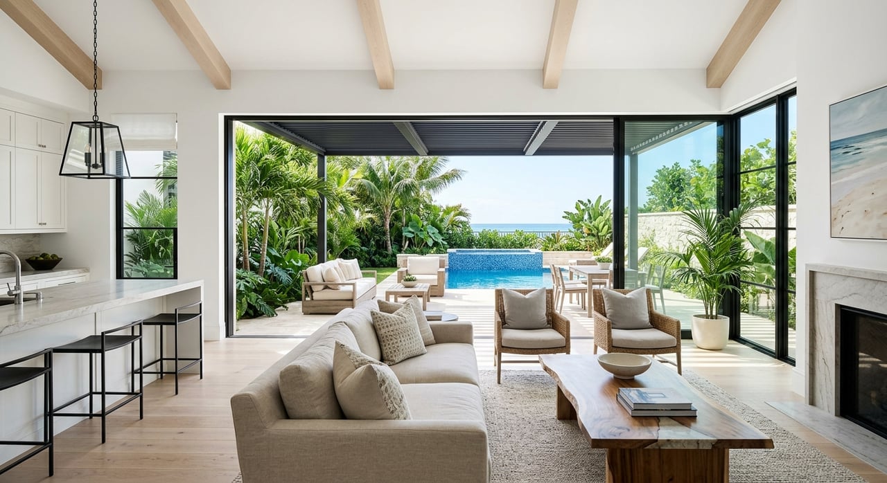
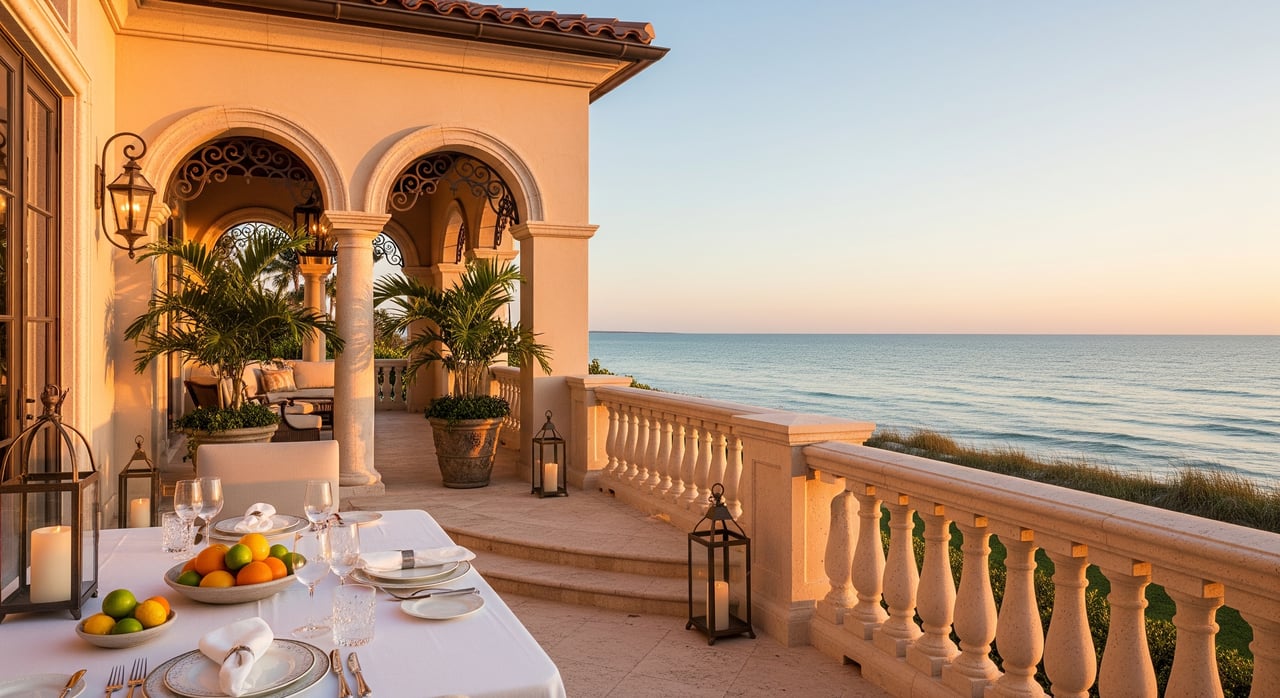
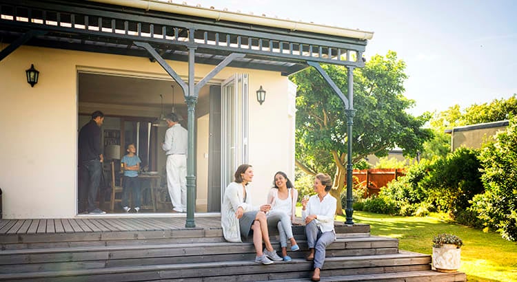
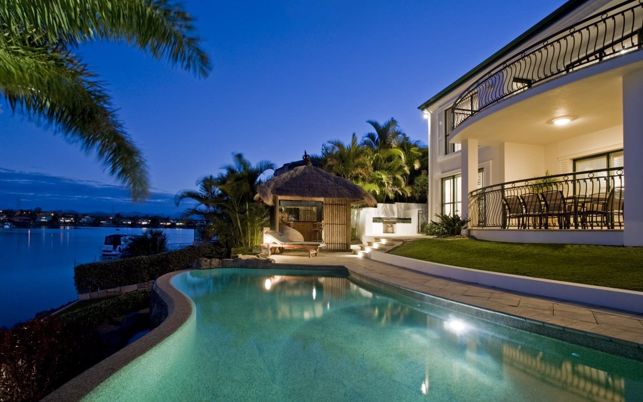
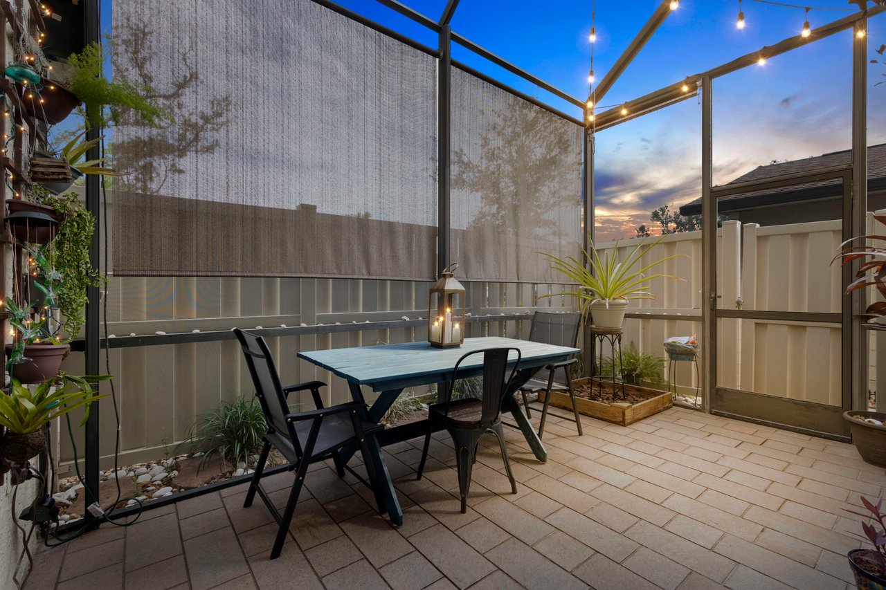
Daily life on the canals
Canal living is as much about pace as it is about views. Mornings are for coffee on the lanai and a quick paddle before work. Afternoons might include a short lap to a marina restaurant or a sunset ride through the spreader canal. Public ramps and city resources make it easy to launch a visiting friend’s boat or trailer your own skiff when needed. The wildlife is part of the charm, from manatees in cooler months to ospreys guarding their nests.
If you plan ahead for your boat’s height, your dock setup, and your insurance and seawall due diligence, it is a lifestyle that trades chores for water time. The right canal makes that rhythm feel effortless.
Ready to find your canal home?
If you want a private, well-managed path into Cape Coral’s canal lifestyle, we are here to help. From analyzing bridge clearances and lot frontage to coordinating seawall and flood reviews before you offer, we handle the details so you can focus on the water. Connect with Haven Group FL to start a tailored search and a smooth, concierge experience.
FAQs
What does “Gulf access” mean in Cape Coral?
- It means your canal route connects by water to the Caloosahatchee River and out to Matlacha Pass or San Carlos Bay, allowing you to reach open Gulf waters without hauling your boat.
How do I check bridge clearances for my boat?
- Review posted signs on the water, then verify heights and any drawbridge rules in federal references like the U.S. Coast Pilot and consult local marinas or a captain for route planning.
Are seawalls required on all canal lots?
- The city requires seawalls or bulkheads for waterfront lots on saline or fluctuating tidal waters, and owners are responsible for maintenance and permits under the marine improvements code.
How did the 2022 FEMA map updates affect flood insurance?
- Lee County’s effective maps from November 2022 changed some parcel designations, so you should check your exact address on the county’s FEMA map updates page and get address-level NFIP and private quotes.
Who maintains Cape Coral’s canals and dredging?
- The city manages canal maintenance and uses contractors on multi-year schedules, as shown in examples on Gator Dredging’s Cape Coral page. Always confirm current plans with the city for your specific canal.